Sea Trip to the North of Alaska (Fall 2016)

During the fall of 2016, I participated in a sea trip to the north of Alaska. The trip began in Nome on October 15 and ended in Dutch Harbor on November 11. Most of the trip was above the Arctic Circle, and
we got up to within one arcminute of 75° N. The image above shows the path of the ship and the extent of ice cover just before the end of the trip. Although the purpose of trip wasn’t to see birds, we visited biologically rich areas with lots of birds. During my free time, I obtained several hours of video footage. The conditions weren’t always favorable — the ship was often moving at over 10 knots, the birds were often far from the ship, the seas were often rough, the light conditions were often poor, and the lens was often wet — but I hope others will enjoy the scenery and birds in areas that aren’t visited by bird watchers very often. Some of the highlights of the trip were a Gyrfalcon, an Ivory Gull, and twenty-one Ross’s Gulls that were in migratory flights to the west. Some of the video footage was obtained with a DJI Phantom 3 Pro drone, but it was usually too windy for it.
Movie 1 (10:23) Ocean surface
waves propagating through pancake ice near 75° N and 150° W.
Movie 2 (5:09) Ross’s Gulls in
westbound migratory flights more than 100 miles to the NNW of Barrow.
Movie 3 (8:02) Ivory Gull
more than 100 miles to the NNW of Barrow.
Movie 4 (4:39) Drone footage
of Nome.
Movie 5 (4:00) Drone footage
of the tundra near Nome.
Movie 6 (1:16) Heading north
while passing through the Bering Strait.
Movie 7 (4:39) Waves and
spray during high winds just north of the Bering Strait.
Movie 8 (6:29) Drone footage
obtained during a flight from the Sikuliaq over the Arctic Ocean.
Movie 9 (3:50) Another drone
flight over the Arctic Ocean after the sun came out.
Movie 10 (3:07) Heading south
in a snow storm after passing back through the Bering Strait.
Movie 11 (5:00) Wind,
waves, and birds in the Bering Sea.
Movie 12 (4:23) Drone footage
of Dutch Harbor.
Movie 13 (12:59) Dutch Harbor scenery and birds.
Movie 14 (1:22) It was amusing to watch the sink running while the ship was rolling.
Scroll down to view the photos below.

The Sikuliaq.

Nome, Alaska.


The Sikuliaq is the blue and white ship in the distance.


Fork-tailed Storm-Petrels.


Muskox.


The birds in the three photos above are McKay’s Buntings.


Sledge Island on the left was named after a native sled by
Captain James Cook in 1778.

Someone created a nice work of art on the beach.

Moon rising over Nome.


Rock Sandpiper.

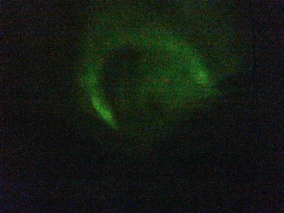
Cell phone photo of the aurora.

Air temperature below freezing and water temperature of 41° F combined to create an inversion effect. Compare the island in the photo above that was taken during the inversion with the photo below that was taken the previous afternoon.


There are lots of gold miners along the coast of Nome.


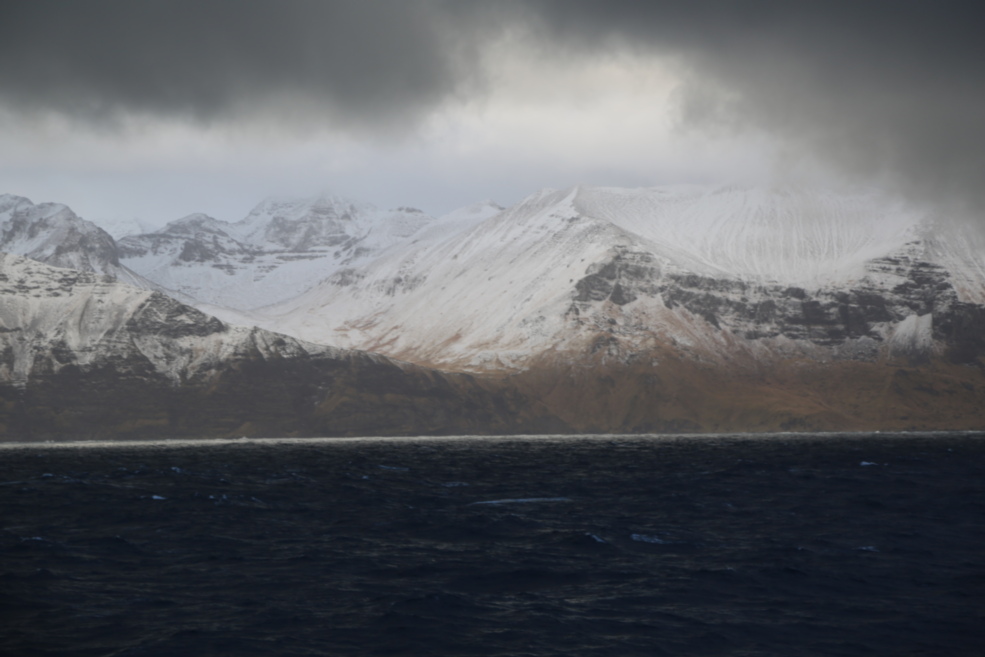
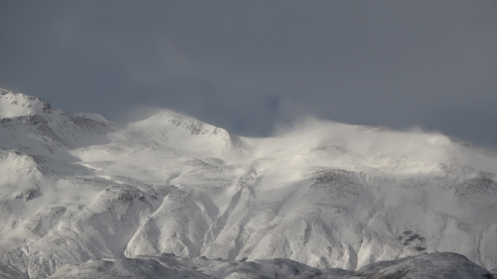
Mt. Osborn.


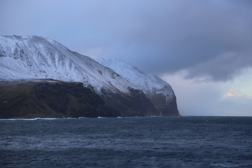
Sledge Island appears in the two photos above. A Gyrfalcon flew over the ship as we passed near the steep rocky coast. Lots of seabirds were seen in this area. Unlike on a pelagic bird watching trip, the ship was merely passing through the area, and most of the video footage (obtained with a Sony 4K camera) is of distant birds.

White-winged Scoters.

This appears to be a Spectacled Eider, which nests nearby.


The dark bird in the two photos above appears to be a Parasitic Jaeger.

Long-tailed Ducks.

This appears to be a Kittlitz’s Murrelet.


Fairway Rock is a small island in the Bering Strait. Just beyond it
are the Diomede islands, the border between the United
States and Russia, and the International Date Line.


Snowy day in the Arctic.

Thick-billed Murre.


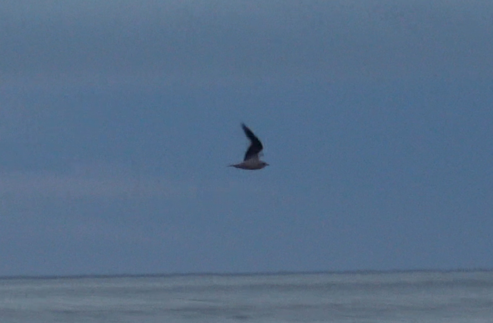
Ross’s Gull.


Ivory Gull.


A wind from the south apparently blew the Ivory Gull north, but westbound Ross’s Gulls are still coming through the area.

Bino-cam is useful for obtaining video of birds at sea. By using the binoculars as the viewfinder, it takes less time to get the camera on a bird, a bird in flight may be tracked more smoothly, and it is possible to keep the camera on a distant bird that is difficult to see through the viewfinder of a camera.


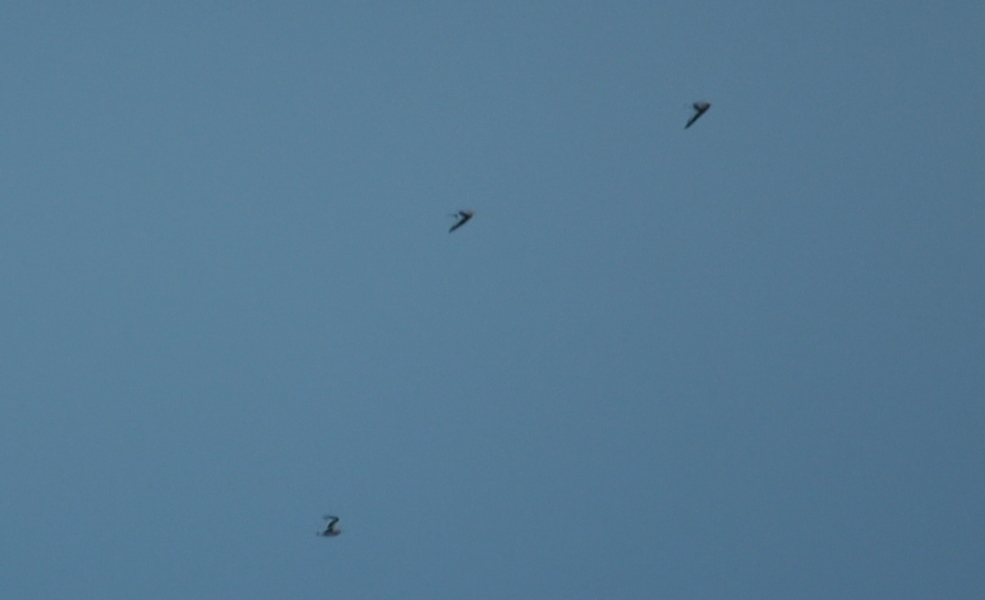
Ross’s Gulls continue to move through the area, usually in groups of two or three. The birds in the two photos above are in first winter plumage.


The bird in the two photos above appears to be a juvenile Crested Auklet.


Northern Fulmar.

The ship anchored a mile or so off the coast of Barrow for a change in personnel.

At this time of year, the sun doesn’t get very high in the sky, but it can still put on an impressive show.


This early stage in the formation of sea ice is known as grease ice.


At nearly 75° N, we encountered a more substantial form of ice, which is known as pancake ice. It was the first day of the trip on which I didn’t see any birds.


In this image, there is pancake ice in the distance, a band of grease ice, and then a band of open water. In the region with pancake ice, all of the surface waves have long wavelengths. In the region with grease ice, there are some shorter wavelengths to the left. In the region with open water, there are even shorter wavelengths.


After three days of not seeing a single living creature, I saw some birds on November 1, including two Ross’s Gulls.

Crested Auklets.

Black Guillemot.

Heading south toward the Bering Strait on a snowy afternoon.

We had a gorgeous sunrise while approaching the Bering Strait from the north on November 6.

Tufted Puffin.


Glaucous Gull with a dead alcid.

King Eider.


The outlines of the Diomede Islands were visible as we passed through the Bering
Strait at dusk. Little Diomede on the left is part of the United States. Big Diomede on
the right is part of Russia. The International Date Line is halfway
between these islands, which are separated by 2.4 miles.

A half moon is visible near the horizon with the terminator oriented
vertically. This is possible only at high latitudes.


St. Lawrence Island from 42 miles to the east.


This map shows the track of the ship and a storm that forced an
evasive change in course to the northeast.


The birds in the two photos above are dark morph Northern Fulmars.


The birds in the two photos above are Short-tailed Shearwaters.

Glaucous-winged Gulls.


The images above show the growth of ice cover between arriving in the Arctic
Ocean on October 18 and approaching Dutch Harbor on November 10.


The bird in the two photos above is a Slaty-backed Gull.


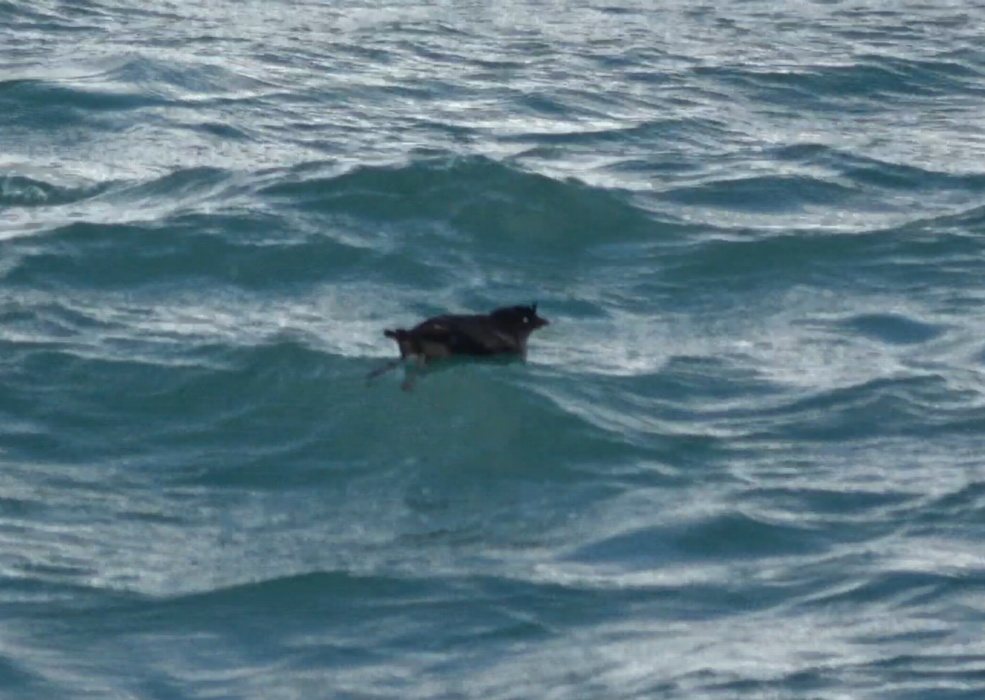
A sea otter was eating a crab when an uninvited guest showed up.

Common Murre.


Pigeon Guillemot.

A Bald Eagle landed on the mast when we arrived at the dock.

Gray-crowned Rosy-Finch

Black Scoters.


Harlequin Duck.


The birds in the two photos above are Red Phalaropes.
Crested Auklet.

Marbled Murrelet.

Russian Orthodox church.


Northern Shrike.
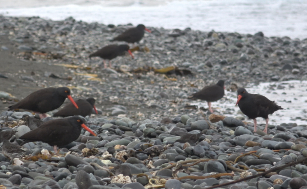
Black Oystercatchers.


The hillsides are covered with blueberry bushes.
